Whether trail running or hiking we are are all about getting you out there having enjoyable and safe trail experiences. We understand that it’s not always convenient to have a Trail Bus guide there with you, so we’ve prepared a trail plan to help you have the area’s best trail experiences, whatever your time, distance and challenge preferences.
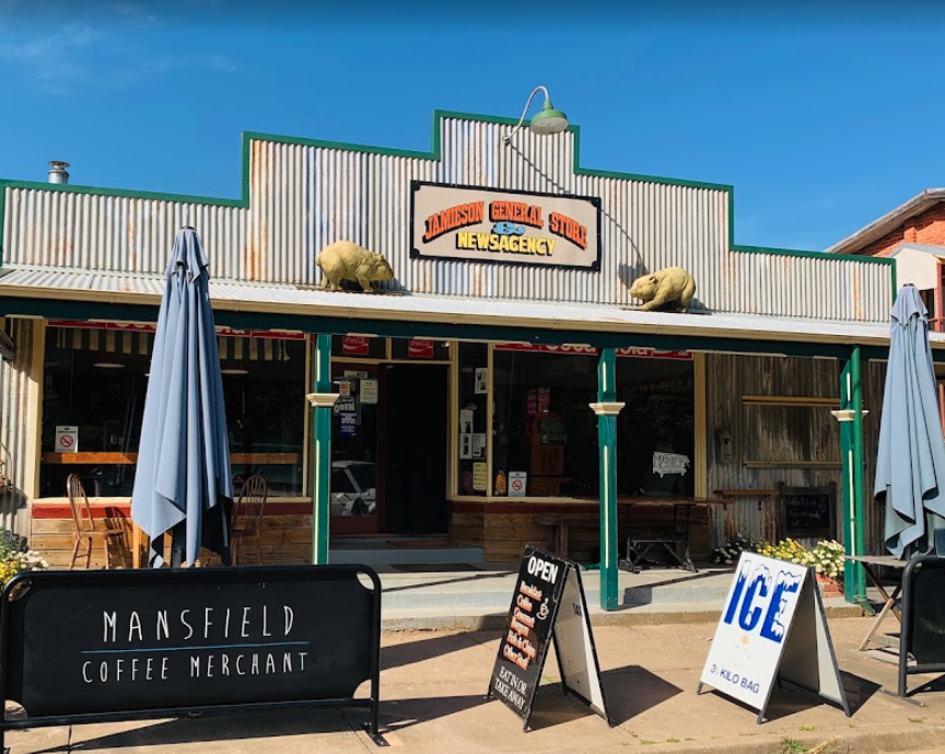
Here we show you 4 trails surrounding the historical Victorian gold mining town of Jamieson. While surrounded by rugged and remote country, Jamieson is less than three hours’ drive North East from Melbourne or 30 minutes drive out of Mansfield. Jamieson is set within a picturesque valley that is surrounded by dense bush mountain terrain. The trails surrounding Jamieson are mostly 4WD access tracks. The Jamieson trails are remote, challenging, scenic and the Jamieson river provides the perfect spot to cool off after your trail adventures. If you’ve got a mountain bike, kayak, inflatable flamingo bring them with you or you can hire kayaks from Jamieson Caravan Park.
GPX – 29km 600m Jamieson Hut to Hut
KML – 29km 600m Jamieson Hut to Hut
GPX – 25km 1000m Jamieson Loop
KML – 25km 1000m Jamieson Loop
GPX – 9km 500m Jamieson to The Pinnacle Lookout
KML – 9km 500m Jamieson to The Pinnacle Lookout
GPX – 7km 200m Jamieson town loop
KML – 7km 200m Jamieson town loop
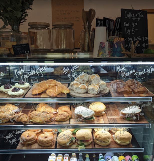
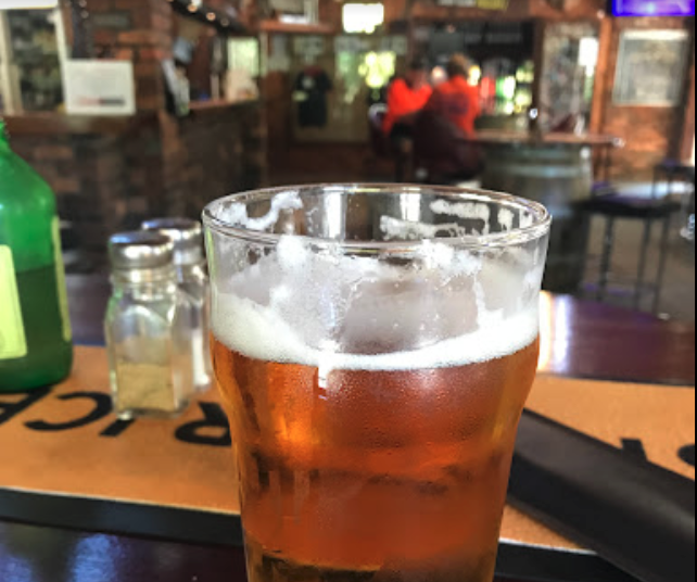
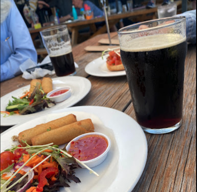
Local Food and Drink

General trail safety needs to be observed
Before heading out on the trails setup up an offline map route to follow. You can find out how to do that in our blog post here How to navigate routes outside of phone reception. We have not been on all of these trails and trail conditions are constantly changing. Do your due diligence before heading out. All trail adventures should be safety and emergency planned with an understanding that trail conditions change. The trails may not be passable or safe to use. When in doubt opt out/turn around and head back.
- Setup a welfare plan and stick to it. Tell someone where you are going, your start and finish locations, what direction you are travelling, how long you plan to take and what to do if you fail to make contact within the planned timeframe. Plan for being outside of phone reception. Do not change the planned route without confirming this with your welfare person so you can be found.
- Take enough food and water to last your time out and a bit more for emergencies.
- Plan for immobility. What happens when you can’t move? Snake bite or a broken leg. How will someone find you, signal for help, keep safe and stable in the conditions whilst waiting for help.
- What happens when you can’t regulate your temperature by running anymore? The terrain may be too technical for running, you may get a sprain or strain, you are affected by the weather conditions, or you are so fatigued you have to walk it in. What is your plan to regulate a safe body temperature if movement becomes walking only?
- Take your first aid gear. Make sure your life saving gear is first priority – Snake bandage, epi-pen, bivy/space blanket, triangular bandage, whistle, Ventolin inhaler.
- What happens if you can’t make it back in day light hours? How early are you leaving and is there a chance you’ll finish in the dark or later than expected? Pack the charged head lamp.
More trail safety information can be found here on our safety pages and in our risk register.
Or if you’d like a private guided custom day tour or multi day send us a message. We can even put packages together that include guided tours, transfers, accommodation and catering.