1. It is a code red fire danger day
Keep informed with parks closures at Parks Victoria website. CFA list the fire ratings for each Victorian municipality on their website. Where you have phone reception the VicEmergency app has the ability to set area watch zones and will keep you up to date with the fire ratings in your planned run areas. All the website links are listed below.

2. The weather is unsuitable for your location
Melbournes classic “4 seasons in 1 day” weather can provide trail runners with all types of challenges and risks. Knowing what the weather will be in your planned location will not only identify if it is safe and suitable trail running weather, but also help you identify what gear to take to suit the conditions, what contingency planning you may need if you take longer than thought or need to stay put in an emergency. The Bureau of Meteorology gives you the most trusted and reliable weather forecast data for your trip. Be mindful most forecasts are district forecasts which can be be large areas. For a deeper dive check out the BOMs town forecast options. You may be able to get a more specific forecast to your planned run location. The VicEmergency app also used BOM information and warnings to keep you informed about storms and weather risks for your watch zones.
3. There is controlled burning taking place
Heading out to a trail and finding it inaccessible due to a burn can be a bummer. Part of DELWP’s ecological, conservation, public safety and cultural heritage works include holding cool season controlled burns. DELWP will generally notify 10 days prior to a burn with updates as it is ignited, patrolled and declared safe. Giving them the space to do their works is important for everyones safety. You can keep informed with planned burn activities prior to heading out to your trail run on the Forestry Fire Management Victoria Website. You can also subscribe for email and sms notifications for your planned run areas. The VicEmergency app will identify the fire locations once ignited.
4. Track closures are in place
Ensuring public safety in parks and forests can mean closing access and infrastructure to the public. This might include roads, track, trails, bridges and walkways. Where it is identified that there is an unacceptable risk to public safety the land manager may close or restrict public access. Checking with park, reserve and forest land managers before heading out can give you the most up to date conditions and make sure your planned route is safe and accessible. Parks Victoria and DELWP list their changed conditions and closures on their website. The Victorian public access map database has an option to show closed roads and tracks in planned run locations. If you do get to a closure, for your own safety and the safety of your potential rescuers choose a new route and let your friends or family know you are changing plans.
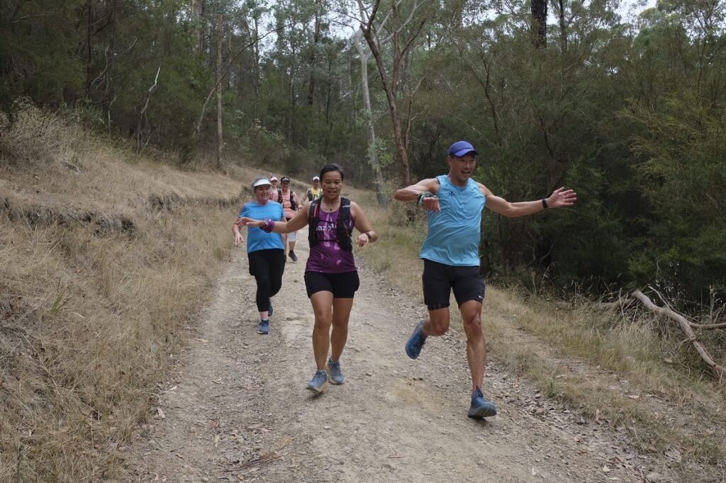
5. The technicality of the trail exceeds your groups experience and expectations.
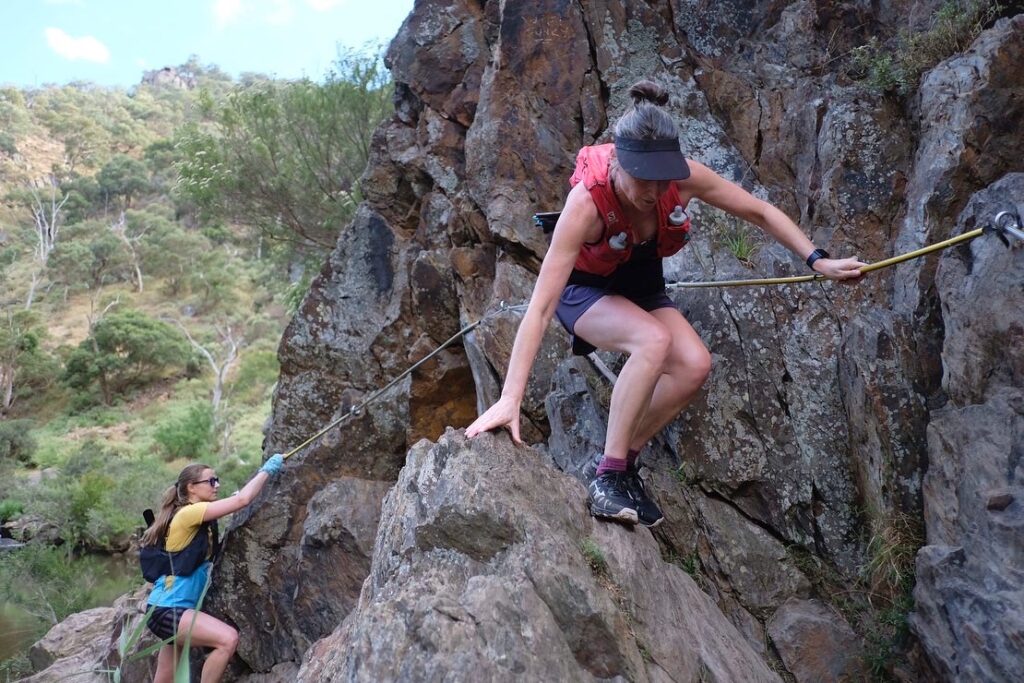
If you’ve every done the Razorback track on the Cathedral Range you’ll know it isn’t for everyone. We are so lucky to have such a variety of trails and landscapes in Victoria.
We literally have something for everyone. Do your research on your planned run location. Check the land managers website and recommendations, ask your friends if they’ve been there and hit up google. Using hiking and bushwalking forums and facebook groups may give you the information you need to understand the trail technicality and how long you may be out there. Once you are confident you’ve got a good understanding of the trails, share that information with all your crew so they can all understand and make an informed choice if it is suitable for them.
Links
Park Victoria park closures on Code Red Days – https://www.parks.vic.gov.au/get-into-nature/safety-in-nature/changed-conditions-and-closures/code-red-park-closures
VicEmergency map website – https://www.emergency.vic.gov.au/respond/
Bureau of Meteorology district map forecasts – http://www.bom.gov.au/vic/forecasts/map.shtml
Bureau of Meteorology town map forecasts – http://www.bom.gov.au/vic/forecasts/map7day.shtml
Forestry Fire Management Victoria Website – https://plannedburns.ffm.vic.gov.au/search-results/
Parks Victoria changed conditions and closures website – https://www.parks.vic.gov.au/get-into-nature/safety-in-nature/changed-conditions-and-closures
DELWP forests, parks, roads, and trails closures website – https://www.ffm.vic.gov.au/permits-and-regulations/closures-of-parks-and-forests
Victorian Mapshare database – https://mapshare.vic.gov.au/mapsharevic/
